7 nights onboard Norwegian Bliss

Alaska: Glacier Bay, Skagway & Juneau

Winners 2022 Best for Entertainment

Imagine exhilaration whilst exploring the wilds of Alaska. Imagine relaxation upon finding your slice of paradise in The Caribbean. Imagine Bliss.

Leaving from: Seattle, Washington
Cruise ship: Norwegian Bliss
Visiting: Seattle, Washington Sitka, Alaska Juneau, Alaska Endicott Arm, Alaska
Norwegian Cruise Line Logo
Norwegian Cruise Line

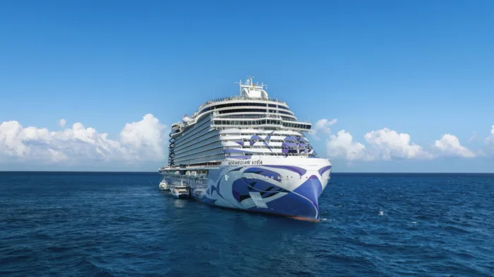
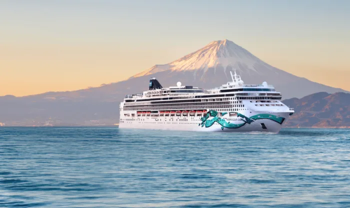
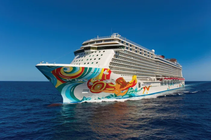
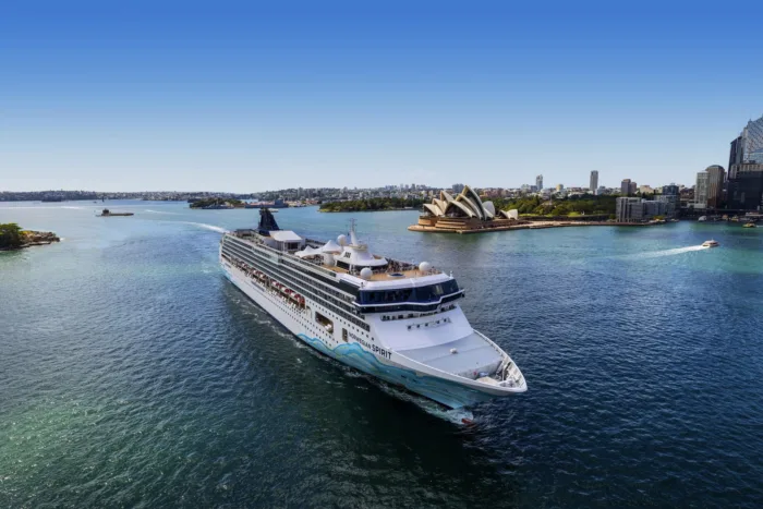
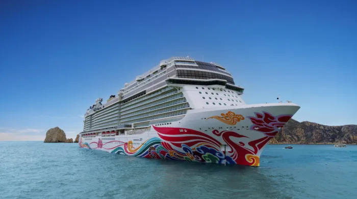
Founded in 1966, Miami-based Norwegian Cruise Line (NCL), part of global cruise company Norwegian Cruise Line Holdings (which also owns Oceania Cruises and Regent Seven Seas Cruises), is the third-largest cruise line in the world in terms of cruise passengers. NCL has become well-known for its colourful ships featuring a pop-icon style painted hull.

4004
Passengers
1716
Crew
2018
Launched
168028t
Tonnage
333m
Length
41m
Width
23kts
Speed
20
Decks
USD
Currency
Cruise Itinerary
Day 1
Seattle, Washington, United States
Day 3
Sitka, Alaska, Alaska
Day 4
Juneau, Alaska, Alaska
Day 4
Endicott Arm, Alaska, Alaska
Day 5
Icy Strait Point, United States
Day 6
Ketchikan, Alaska, Alaska
Day 7
Victoria, British Columbia, Canada
Day 8
Seattle, Washington, United States
Seattle, Washington, United States image
Day 1
Seattle, Washington, United States
Seattle is a scenic seaport city in western Washington, situated on an isthmus between Puget Sound to the west and Lake Washington to the east. It is the largest city in Washington. Five pioneer families from Illinois first settled the area in 1851, and named the town after a friendly Suquamish Indian chief. It was incorporated as a city in 1869, and grew quickly after the Great Northern Railway arrived in 1893, especially during the Alaska Gold Rush of 1897. When the Panama Canal opened in 1914, Seattle became a major Pacific port of entry, and today it is the region's commercial and transportation hub and the centre of manufacturing, trade, and finance, with an estimated 684,451 residents as of 2015.
Sitka, Alaska, Alaska image
Day 3
Sitka, Alaska, Alaska
It's hard not to like Sitka, with its eclectic blend of Alaska Native, Russian, and American history and its dramatic and beautiful open-ocean setting. This is one of the best Inside Passage towns to explore on foot, with St. Michael's Cathedral, Sheldon Jackson Museum, Castle Hill, Sitka National Historical Park, and the Alaska Raptor Center topping the must-see list.Sitka was home to the Kiksádi clan of the Tlingit people for centuries prior to the 18th-century arrival of the Russians under the direction of territorial governor Alexander Baranof, who believed the region was ideal for the fur trade. The governor also coveted the Sitka site for its beauty, mild climate, and economic potential; in the island's massive timber forests he saw raw materials for shipbuilding. Its location offered trading routes as far west as Asia and as far south as California and Hawaii. In 1799 Baranof built St. Michael Archangel—a wooden fort and trading post 6 miles north of the present town.Strong disagreements arose shortly after the settlement. The Tlingits attacked the settlers and burned their buildings in 1802. Baranof, however, was away in Kodiak at the time. He returned in 1804 with a formidable force—including shipboard cannons—and attacked the Tlingits at their fort near Indian River, site of the present-day 105-acre Sitka National Historical Park, forcing many of them north to Chichagof Island.By 1821 the Tlingits had reached an accord with the Russians, who were happy to benefit from the tribe's hunting skills. Under Baranof and succeeding managers, the Russian-American Company and the town prospered, becoming known as the Paris of the Pacific. The community built a major shipbuilding and repair facility, sawmills, and forges, and even initiated an ice industry, shipping blocks of ice from nearby Swan Lake to the booming San Francisco market. The settlement that was the site of the 1802 conflict is now called Old Sitka. It is a state park and listed as a National Historic Landmark.The town declined after its 1867 transfer from Russia to the United States, but it became prosperous again during World War II, when it served as a base for the U.S. effort to drive the Japanese from the Aleutian Islands. Today its most important industries are fishing, government, and tourism.
Juneau, Alaska, Alaska image
Day 4
Juneau, Alaska, Alaska
Juneau, Alaska's capital and third-largest city, is on the North American mainland but can't be reached by road. Bounded by steep mountains and water, the city’s geographic isolation and compact size make it much more akin to an island community such as Sitka than to other Alaskan urban centers, such as Fairbanks or Anchorage. Juneau is full of contrasts. Its dramatic hillside location and historic downtown buildings provide a frontier feeling, but the city's cosmopolitan nature comes through in fine museums, noteworthy restaurants, and a literate and outdoorsy populace. The finest of the museums, the Alaska State Museum, is scheduled to reopen in May 2016 on its old site as the expanded Alaska State Library, Archives, and Museum (SLAM) following several years of planning and exhibit research. Another new facility, the Walter Soboleff Center, offers visitors a chance to learn about the indigenous cultures of Southeast Alaska–-Tlingit, Haida, and Tsimshian. Other highlights include the Mt. Roberts Tramway, plenty of densely forested wilderness areas, quiet bays for sea kayaking, and even a famous drive-up glacier, Mendenhall Glacier. For goings-on, pick up the Juneau Empire (www.juneauempire.com), which keeps tabs on state politics, business, sports, and local news.
Endicott Arm, Alaska, Alaska image
Day 4
Endicott Arm, Alaska, Alaska
Endicott Arm is a long fjord branching off Stephen’s Passage, the major inner passage heading southeast from Juneau. The easternmost tip of Endicott Arm nearly reaches the Canadian border. Like all the fords in this region, it was carved by glaciers during the last Ice Age which ended about 11,000 years ago. One either side of the fjord the steep, nearly vertical walls, rise to a height of about 370 meters or 1,200 feet. Sitka spruce and western hemlock trees manage to cling onto the rock faces, adding to the breath-taking beauty of the landscape.
Icy Strait Point, United States image
Day 5
Icy Strait Point, United States
Since Icy Strait Point opened in 2004, Hoonah has attracted more visitors, particularly those who arrive by cruise ship. The port is centered around the restored salmon cannery, which now houses a museum, local arts and crafts shops, restaurants, and a mid-1930s cannery line display. Outside is the world’s largest and highest zip line at 5,330 feet long, featuring a 1,300-foot vertical drop—a thrilling ride with fantastic views of the surrounding mountains and ocean. If you're looking for more relaxing mountaintop views, book a gondola ride that will whisk you up into the mountains for some leisurely hiking and stellar sightseeing. Icy Strait Point houses several restaurants where visitors can dine on freshly caught seafood while taking in the waterfront views. A range of excursions are available at Icy Strait Point catering primarily to cruise ship passengers, from Alaska Native dance performances to bear viewing and whale watching.
Ketchikan, Alaska, Alaska image
Day 6
Ketchikan, Alaska, Alaska
Ketchikan is famous for its colorful totem poles, rainy skies, steep–as–San Francisco streets, and lush island setting. Some 13,500 people call the town home, and, in the summer, cruise ships crowd the shoreline, floatplanes depart noisily for Misty Fiords National Monument, and salmon-laden commercial fishing boats motor through Tongass Narrows. In the last decade Ketchikan's rowdy, blue-collar heritage of logging and fishing has been softened by the loss of many timber-industry jobs and the dramatic rise of cruise-ship tourism. With some effort, though, visitors can still glimpse the rugged frontier spirit that once permeated this hardscrabble cannery town. Art lovers should make a beeline for Ketchikan: the arts community here is very active. Travelers in search of the perfect piece of Alaska art will find an incredible range of pieces to choose from.The town is at the foot of 3,000-foot Deer Mountain, near the southeastern corner of Revillagigedo (locals shorten it to Revilla) Island. Prior to the arrival of white miners and fishermen in 1885, the Tlingit used the site at the mouth of Ketchikan Creek as a summer fish camp. Gold discoveries just before the turn of the 20th century brought more immigrants, and valuable timber and commercial fishing resources spurred new industries. By the 1930s the town bragged that it was the "salmon-canning capital of the world." You will still find some of Southeast's best salmon fishing around here. Ketchikan is the first bite of Alaska that many travelers taste. Despite its imposing backdrop, hillside homes, and many staircases, the town is relatively easy to walk through. Favorite downtown stops include the Spruce Mill Development shops and Creek Street. A bit farther away you'll find the Totem Heritage Center. Out of town (but included on most bus tours) are two longtime favorites: Totem Bight State Historical Park to the north and Saxman Totem Park to the south.
Victoria, British Columbia, Canada image
Day 7
Victoria, British Columbia, Canada
Victoria, the capital of a province whose license plates brazenly label it "The Best Place on Earth," is a walkable, livable seaside city of fragrant gardens, waterfront paths, engaging museums, and beautifully restored 19th-century architecture. In summer, the Inner Harbour—Victoria's social and cultural center—buzzes with visiting yachts, horse-and-carriage rides, street entertainers, and excursion boats heading out to visit pods of friendly local whales. Yes, it might be a bit touristy, but Victoria's good looks, gracious pace, and manageable size are instantly beguiling, especially if you stand back to admire the mountains and ocean beyond. At the southern tip of Vancouver Island, Victoria dips slightly below the 49th parallel. That puts it farther south than most of Canada, giving it the mildest climate in the country, with virtually no snow and less than half the rain of Vancouver. The city's geography, or at least its place names, can cause confusion. Just to clarify: the city of Victoria is on Vancouver Island (not Victoria Island). The city of Vancouver is on the British Columbia mainland, not on Vancouver Island. At any rate, that upstart city of Vancouver didn't even exist in 1843 when Victoria, then called Fort Victoria, was founded as the westernmost trading post of the British-owned Hudson's Bay Company. Victoria was the first European settlement on Vancouver Island, and in 1868 it became the capital of British Columbia. The British weren't here alone, of course. The local First Nations people—the Songhees, the Saanich, and the Sooke—had already lived in the areas for thousands of years before anyone else arrived. Their art and culture are visible throughout southern Vancouver Island. You can see this in private and public galleries, in the totems at Thunderbird Park, in the striking collections at the Royal British Columbia Museum, and at the Quw'utsun'Cultural and Conference Centre in nearby Duncan. Spanish explorers were the first foreigners to explore the area, although they left little more than place names (Galiano Island and Cordova Bay, for example). The thousands of Chinese immigrants drawn by the gold rushes of the late 19th century had a much greater impact, founding Canada's oldest Chinatown and adding an Asian influence that's still quite pronounced in Victoria's multicultural mix. Despite its role as the provincial capital, Victoria was largely eclipsed, economically, by Vancouver throughout the 20th century. This, as it turns out, was all to the good, helping to preserve Victoria's historic downtown and keeping the city largely free of skyscrapers and highways. For much of the 20th century, Victoria was marketed to tourists as "The Most British City in Canada," and it still has more than its share of Anglo-themed pubs, tea shops, and double-decker buses. These days, however, Victorians prefer to celebrate their combined indigenous, Asian, and European heritage, and the city's stunning wilderness backdrop. Locals do often venture out for afternoon tea, but they're just as likely to nosh on dim sum or tapas. Decades-old shops sell imported linens and tweeds, but newer upstarts offer local designs in hemp and organic cotton. And let's not forget that fabric prevalent among locals: Gore-Tex. The outdoors is ever present here. You can hike, bike, kayak, sail, or whale-watch straight from the city center, and forests, beaches, offshore islands, and wilderness parklands lie just minutes away. A little farther afield, there's surfing near Sooke, wine touring in the Cowichan Valley, and kayaking among the Gulf Islands.
Seattle, Washington, United States image
Day 8
Seattle, Washington, United States
Seattle is a scenic seaport city in western Washington, situated on an isthmus between Puget Sound to the west and Lake Washington to the east. It is the largest city in Washington. Five pioneer families from Illinois first settled the area in 1851, and named the town after a friendly Suquamish Indian chief. It was incorporated as a city in 1869, and grew quickly after the Great Northern Railway arrived in 1893, especially during the Alaska Gold Rush of 1897. When the Panama Canal opened in 1914, Seattle became a major Pacific port of entry, and today it is the region's commercial and transportation hub and the centre of manufacturing, trade, and finance, with an estimated 684,451 residents as of 2015.
Ship Details
Norwegian Cruise Line
Norwegian Bliss

Imagine exhilaration whilst exploring the wilds of Alaska. Imagine relaxation upon finding your slice of paradise in The Caribbean. Imagine Bliss.

Find your perfect cruise!
Cabins
All Prices