

Regent Seven Seas Cruises
Regent promises to deliver The Most Inclusive Luxury Experience, offering an all-inclusive, ultra-luxury experience that is Unrivalled at Sea™.
Guests will be able to explore more than 550 destinations around the world while enjoying the unrivalled space, elegance, and comfort of The World’s Most Luxurious Fleet®. Regent will tend to every detail of their journey from start to finish, so guests can be pampered by the warm, Heartfelt Hospitality™ delivered by the crew.
700
Passengers
459
Crew
2001
Launched
2018
Last refit
48075t
Tonnage
216m
Length
28m
Width
20kts
Speed
8
Decks
USD
Currency
Cruise Itinerary
Ship Details

Regent Seven Seas Cruises
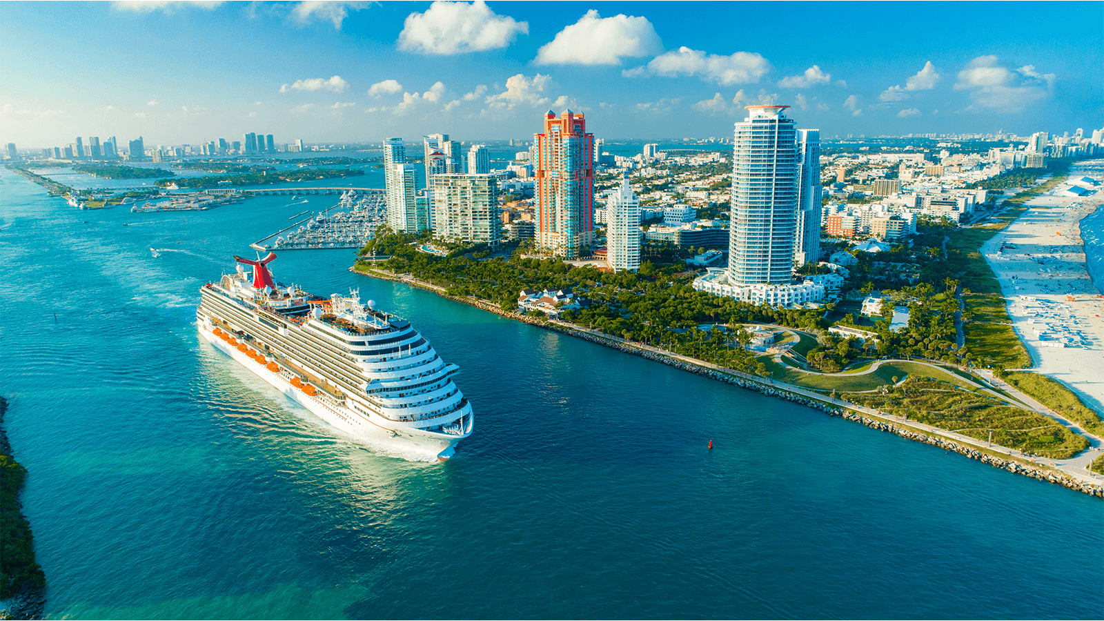
Seven Seas Mariner
If you wish to sail amidst the stunning glaciers of Alaska in comfort and style, you’ll find your ideal voyage in the summer itineraries of Seven Seas Mariner®. In other seasons, the ship explores the wonders of Asia, Australia, New Zealand and the South Pacific.
Cabins
All Prices