
Silversea Cruises
Wellness should be about balanced indulgence, not self-sacrifice - that's the philosophy behind Silversea's new programme called Otium, named after the Roman leisure time dedicated to bathing, talking, singing, drinking, eating and relaxing. The easygoing regime includes a 24-hour room-service menu of comfort food, as well as new spa treatments, relaxing baths and hot chocolate served on your balcony.
392
Passengers
302
Crew
2000
Launched
2019
Last refit
28258t
Tonnage
186m
Length
24m
Width
21kts
Speed
7
Decks
USD
Currency
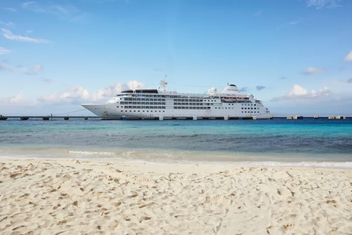
Cruise Itinerary
Day 1
Fort Lauderdale, Florida, United States
Days 2 - 3
At Sea
Relax and make the most of the myriad of facilities available on board the ship, from fantastic entertainment to delicious and diverse dining options.
Day 4
San Juan (Puerto Rico), Puerto Rico
Day 5
Saint Thomas, U.S. Virgin Islands
Day 6
Gustavia, Saint Barthélemy
Day 7
Saint John's, Antigua and Barbuda
Day 8
Trois-Ilets, Martinique
Day 9
Port Elizabeth, Bequia, Saint Vincent and the Grenadines
Day 10
Saint George's, Grenada
Day 11
Soufrière, Saint Lucia
Day 12
Kingstown, Saint Vincent and the Grenadines
Day 13
Bridgetown, Barbados

Day 1
Fort Lauderdale, Florida, United States

Days 2 - 3
At Sea
Day 4
San Juan (Puerto Rico), Puerto Rico
Day 5
Saint Thomas, U.S. Virgin Islands
Day 6
Gustavia, Saint Barthélemy
Day 7
Saint John's, Antigua and Barbuda
Day 8
Trois-Ilets, Martinique
Day 9
Port Elizabeth, Bequia, Saint Vincent and the Grenadines

Day 10
Saint George's, Grenada
Day 11
Soufrière, Saint Lucia
Day 12
Kingstown, Saint Vincent and the Grenadines

Day 13
Bridgetown, Barbados
Ship Details
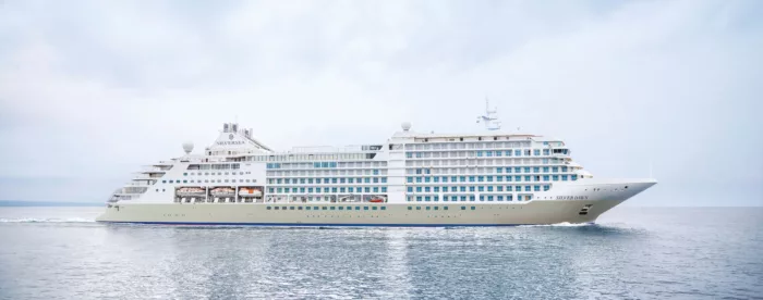
Silversea Cruises
Silver Shadow
Award-winning Silver Shadow is a firm favourite in the Silversea fleet. With one of the highest space-to-guest ratios at sea she offers authentic experiences, simple pleasures and shared moments.
Cabins
All Prices