
Silversea Cruises
Wellness should be about balanced indulgence, not self-sacrifice - that's the philosophy behind Silversea's new programme called Otium, named after the Roman leisure time dedicated to bathing, talking, singing, drinking, eating and relaxing. The easygoing regime includes a 24-hour room-service menu of comfort food, as well as new spa treatments, relaxing baths and hot chocolate served on your balcony.
274
Passengers
239
Crew
1995
Launched
2021
Last refit
17400t
Tonnage
155m
Length
21m
Width
17kts
Speed
6
Decks
USD
Currency
Cruise Itinerary
Ship Details
Silversea Cruises
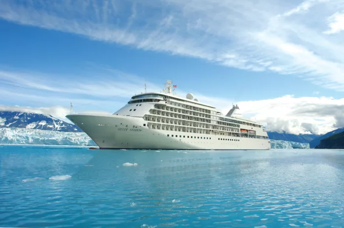
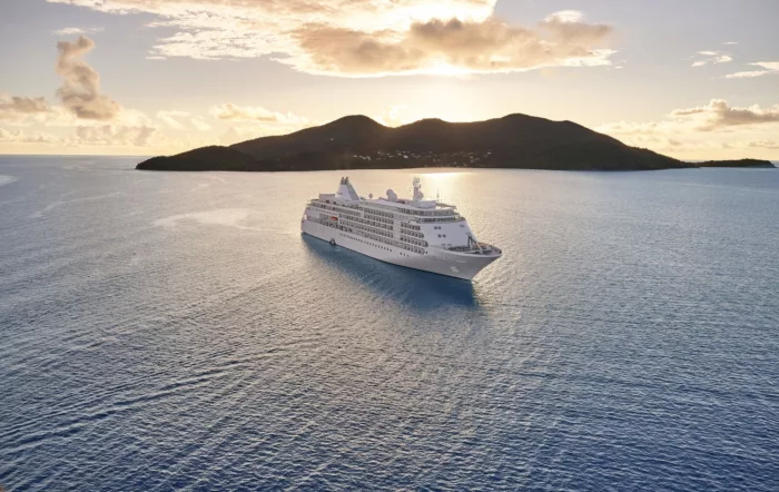
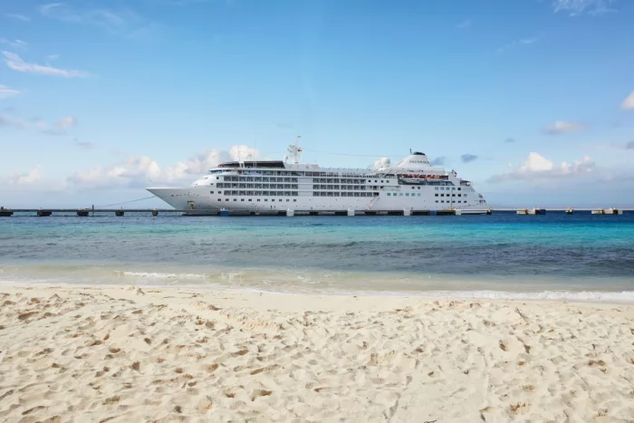
Silver Wind
Break new waters with Silver Wind.
Cabins
All Prices